
FAQ
How will water levels at Long Pond be impacted by the proposed flow control structure?
The table below gives an indication of the existing water levels compared to the proposed water levels at Long Pond after construction of the proposed flow control structure.

How would the new structure prevent flooding?
Constructing the flow control structure will result in the temporary storage of water in Long Pond, during a storm event water will be released downstream into Rennie’s River at a reduced flow rate.
How would the additional capacity impact Long Pond?
The storage capacity of Long Pond would be increased temporarily during a storm event but would return to its normal level a short time after the end of a storm.
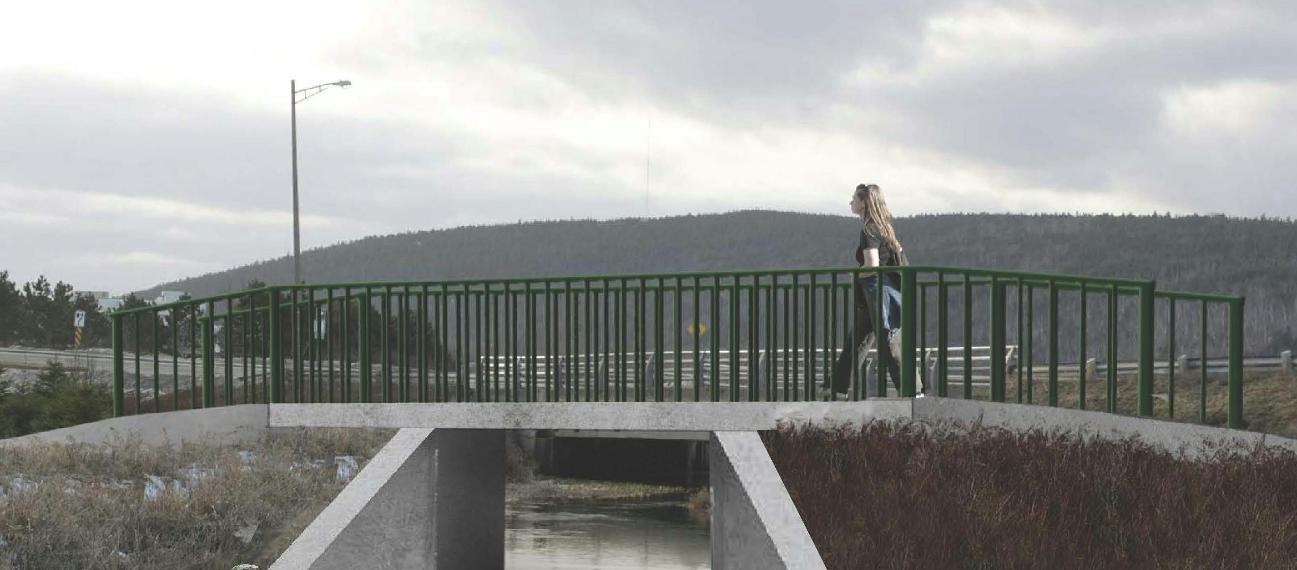
What will the new structure look like?
The sketch below is a graphical representation of what is being proposed for the flow control structure.

Where will the additional infrastructures be located?
The project includes some associated flood mitigation infrastructures (a cast-in-place concrete wall and two earth berms) at Clinch Crescent, Prince Phillip Drive and next to the NRC building, respectively. The locations are show below. The graphic also shows the locations of flood mitigation berming already constructed (or under construction) by the Province, adjacent to the Health Sciences Centre.
